
Background
The aim of the Viabundus Finland 1350–1650 research project is to compile historical geospatial data (HGIS) on traffic routes and traffic related infrastructure of medieval and early modern Finland into a unified database, to create a map interface based on this, and to make them open to the public. The project leader and responsible researcher is Dos. Tapio Salminen (Tampere University and University of Turku). The project management team includes representatives from the Tampere University’s Trivium – Tampere Centre for Classical, Medieval, and Early Modern Studies, University of Turku’s Degree Programme in Cultural Production and Landscape Studies (Pori) and the Finnish Postal Museum (Tampere). The consortion responsible for the management and supervision of the project was founded in August 2021.
Viabundus Finland is part of the European Viabundus project, founded in 2019 by Institut für Historische Landesforschung (University of Göttingen) and The Research Center for Hanse and Baltic History in Lübeck, Germany.
Goal
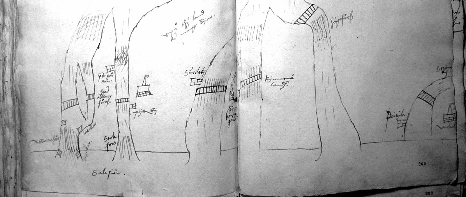
Viabundus Finland integrates information on medieval and early modern traffic routes in Finland enabling its use in multidisciplinary research and various applications. The database and map created in the project include information on the Finnish road and traffic infrastructure (inns, taverns, postal system, market places and times, customs points, landing sites) in 1350–1650.
The data collected in the project is based on existing research on the history of traffic routes, as well as historical maps and source material.
The database is an independent sub-project of Viabundus Europe. Completed and tested technical solutions help the project to focus on the actual content: locating traffic routes, their infrastructure and changes in them between 1350 and 1650, researching transport infrastructure and accessibility of different locations, and mapping historical spatial information on traffic routes.
Impact
The database and map can be used in research on the history of Finnish infrastructure and society, in regional planning, in work supporting the preservation of cultural landscape, and in teaching.
Funding
Viabundus Finland is founded in 2022-24 by Kone Foundation.