
Viabundus Finland 1350-1650
Viabundus Finland 1350–1650 compiles historical geospatial data on traffic routes and traffic related infrastructure of late medieval and early modern Finland into a an open database and map interface.
Viabundus Finland is funded in 2022-24 by Kone Foundation.
Viabundus database presents medieval and early modern roads in an open access map
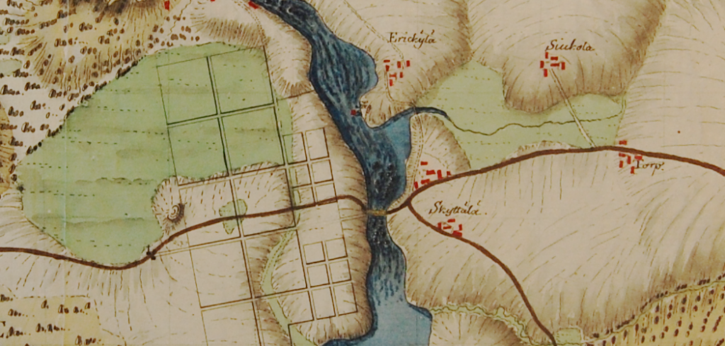
The roads of medieval Finland have now been added to the European Viabundus database. The Viabundus Finland 1350-1650 project has complied historical geospatial data (HGIS) on traffic routes and related infrastructure of medieval and early modern Finland into a unified database and map interface and made them open to the public.
The Finnish dataset includes information on the Finnish roads and traffic infrastructure (inns, taverns, postal system, marketplaces and times, and tolls) between 1350 and 1650. The data collected in the project is based on existing research on the history of traffic routes as well as historical maps and other first-hand source material.
The Finnish subproject started in 2022 with three-year funding from Kone Foundation. The project employed three researchers: PI Tapio Salminen (PhD, Title of Docent), postdoctoral researcher Jenni Lares (PhD), and PhD researcher Katrina Virtanen (MA). The steering committee included representatives from Trivium – Tampere Centre for Classical, Medieval and Early Modern Studies (Tampere University), The Degree Programme in Cultural Production and Landscape Studies (Faculty of Humanities, University of Turku in Pori), and Finnish Postal Museum (Tampere).
Viabundus is a freely accessible online street map of late medieval and early modern northern Europe (1350–1650). It is a work in progress, and new versions and additions are already being planned. Currently, it contains information from present-day Germany, Netherlands, Denmark, Poland, Baltic countries, and most recently, Finland. The Viabundus Project was launched in 2019 by the Forschungsstelle für die Geschichte des Hanseraums und der Ostsee (Lübeck) and the Institut für Historische Landesforschung der Universität Göttingen, and the first version of the database was published in 2021.
The main goal of the project is to provide a digital map of routes of transport in Northern Europe between 1350 and 1650. The focus of the project is on long distance trade: geographical hubs and nodes of traffic and transport – i.e. fairs, harbours, toll stations, towns, and other places of economic activity – related to the transregional trade and roads in the late medieval and early modern Europe. The GIS-based open access map will offer possibilities to estimate times of travel and to find the shortest way or other itineraries between fairs, including the available information of dates of fairs and other spatiotemporal data. The aim of the project is to provide means to perform a geographical network-analysis on transregional trade in Europe in 1350–1650 and create a digital infrastructure for future research in economic history of the area.
Viabundus Map is freely available online. You can also download the data in various formats and see the documentation (both in English and in Finnish) in the project’s website http://www.viabundus.eu/. The contact email for the Finnish team is viabundus.suomi@lists.tuni.fi, more general notions about the database can be sent to info@viabundus.eu.